
The calendar has turned to August, typically the beginning of the height of the hurricane season, yet all is quiet in the North Atlantic, at least for now. But in its mid-season report, the hurricane research team at Colorado State University continues to predict a near-average season.
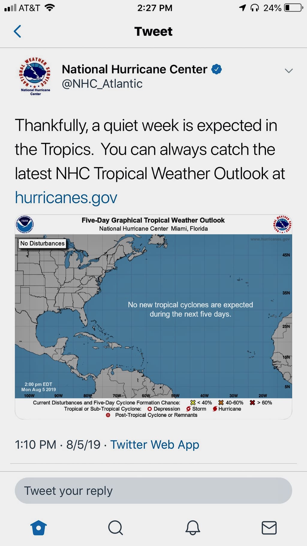
In its Monday report, the National Hurricane Center said that from the coast of Africa to the Gulf of Mexico, there is no tropical cyclone formation expected during the next five days.
To mark that the center issued a tweet on it’s Twitter account saying, “Thankfully, a quiet week is expected in the tropics. You can always catch the latest NHC Tropical Weather Outlook at hurricanes.gov.”
But, while the coast is clear for now, Colorado State University’s hurricane researchers continue to predict a near-average Atlantic hurricane season. They cite both near-average sea surface temperatures in the tropical Atlantic and a weakening El Niño in the tropical Pacific as the primary reasons for the near-average prediction.
El Niño tends to increase upper-level westerly winds across the Caribbean into the tropical Atlantic, tearing apart hurricanes as they try to form. While El Niño has weakened over the past several months, the forecasters anticipate that lingering warming in the central tropical Pacific should be a slight inhibiting factor for the remainder of the hurricane season.
The tropical Atlantic currently has near-average sea surface temperatures, the CSU team said. A warmer tropical Atlantic provides more fuel for developing tropical cyclones. Increased tropical Atlantic warmth is also associated with moister air and a more unstable atmosphere, both of which foster organized thunderstorm activity necessary for hurricane development.
Vertical wind shear was slightly stronger than normal across the Caribbean in July. This tends to be associated with quieter Atlantic hurricane seasons.
12 additional named storms
The CSU Tropical Meteorology Project team is predicting a total of 12 additional named storms to form after Aug. 1. Of those, researchers expect six to become hurricanes and two to reach major hurricane strength (3, 4 or 5 on the Saffir/Simpson scale) with sustained winds of 111 miles per hour or greater. These forecast numbers do not include Subtropical Storm Andrea and Hurricane Barry, which formed prior to Aug. 1.
The team based its forecast on 40 years of historical data that include Atlantic sea surface temperatures, sea level pressures, vertical wind shear levels (the change in wind direction and speed with height in the atmosphere), El Niño (warming of waters in the central and eastern tropical Pacific), and other factors.
So far, the 2019 hurricane season is exhibiting characteristics similar to 1990, 1992, 2012 and 2014, according to the report.
“1992 and 2014 had below-average Atlantic hurricane activity, 1990 had near-average hurricane activity, and 2012 had above-average Atlantic hurricane activity,” said Phil Klotzbach, research scientist in the Department of Atmospheric Science and lead author of the report.
The team predicts that 2019 hurricane activity will be about 100 percent of the average season. By comparison, 2018’s hurricane activity was about 125 percent of the average season. The 2018 season was most notable for Hurricanes Florence and Michael, which devastated the Carolinas and portions of the Florida Panhandle, respectively.
But, of course, it doesn’t really matter how active the hurricane system is if one makes landfall in your neighborhood. The V.I. Territorial Emergency Management Agency has tips for hurricane preparedness at its website, and those wanting emergency updates can sign up for VITEMA weather alerts at the site.
This is the 36th year that the CSU hurricane research team has issued its Atlantic basin seasonal hurricane forecast.